




Fermín Oncala
El Fuerte del Tolmo, Cala Arena o la Punta del Acebuche son algunas de las ubicaciones que hacen especial esta ruta, un viaje directo a la Edad Moderna en el Estrecho de Gibraltar.
La comarca del Campo de Gibraltar ha sido históricamente un enclave estratégico en todos sus aspectos, funcionando como un puente natural entre dos continentes y un punto de fricción entre grandes imperios. Al repasar su historia, destacan las numerosas civilizaciones y acontecimientos que han protagonizado el Estrecho: desde el Imperio Musulmán y sus primeras fortificaciones, hasta las intensas tensiones diplomáticas y militares con los británicos durante la Edad Moderna y las Guerras Mundiales. La ruta del Fuerte del Tolmo revive con especial fuerza esa época donde las disputas bélicas con el Reino Unido por el control del Peñón de Gibraltar estaban a la orden del día, convirtiendo cada acantilado en un baluarte de vigilancia constante.
El recorrido tiene una duración aproximada de seis horas de senderismo, cubriendo una distancia total de 18,8 km desde el punto de partida. Es importante destacar que se clasifica como una ruta de nivel difícil, no solo por la distancia, sino por el terreno irregular y los desniveles propios del litoral gaditano. Por ello, es imprescindible contar con una buena condición física y se recomienda ir bien equipado con calzado de montaña que ofrezca buen agarre, así como accesorios de protección solar, como gorra o gafas técnicas. No se debe olvidar llevar suficiente agua dado que no hay puntos de abastecimiento en el camino.
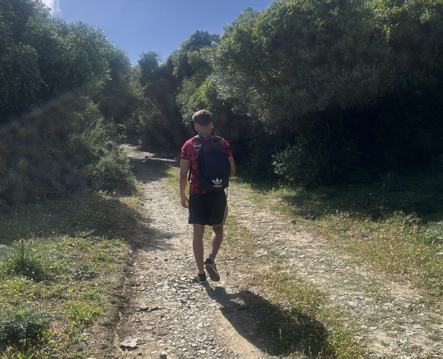
Esta travesía comienza en la zona de la barriada de Getares, concretamente en los aparcamientos que conectan la carretera de la ciudad con el faro de Punta Carnero. Este es un punto de fácil acceso tanto en transporte propio como en transporte público desde el centro de Algeciras. Desde este lugar, los senderistas deben tomar la Vía Jacobea del Estrecho, un camino que no solo destaca por su valor recreativo, sino también por su carga espiritual y natural. Al poco de avanzar, el camino se bifurca de manera clara; en este punto, la ruta continúa por el sendero de la derecha, el cual se interna en una zona de vegetación mediterránea baja que conecta directamente con el Fuerte del Tolmo.
Tras recorrer aproximadamente 8 km de marcha, el Castillo del Tolmo aparece ante un paisaje despejado. Desde aquí se puede apreciar la inmensidad del Estrecho de Gibraltar y la costa del continente africano, ofreciendo una de las vistas más impresionantes de la geografía española. Este enclave fue absolutamente clave durante el siglo XVIII para los intereses españoles en su disputa territorial con los británicos. Dicha estructura, que hoy goza de la protección legal como Bien de Interés Cultural, fue fundamental para la vigilancia activa de las incursiones inglesas y el control del tráfico marítimo. En su época de esplendor, estaba comandada por la compañía de los escopeteros de Getares, un cuerpo de élite local adaptado a la difícil orografía. El declive definitivo de la fortificación llegaría un siglo después, teniendo como telón de fondo el desgaste sufrido durante la Guerra de la Independencia Española contra las tropas napoleónicas.
El segundo punto de interés de la ruta se encuentra a unos 3 km hacia el oeste. Dejando atrás la playa del Tolmo y bordeando la costa, el camino llega a la Punta del Acebuche. Esta ubicación albergó una antigua batería de costas del ejército español.
Después de seguir por el trazado otros 2 km, la playa de Cala Arena se presenta como la próxima parada obligatoria y un merecido descanso. Este accidente costero, caracterizado por sus aguas cristalinas y su aislamiento, es de difícil acceso por tierra, lo que garantiza que nunca esté demasiado concurrido, manteniéndose salvaje y virgen. Llegados a este punto y después de aprovechar para darnos un chapuzón que permita recargar energía, comienza la última etapa. El regreso se realiza siguiendo el curso del Arroyo de La Morisca en dirección noreste, un sendero que nos devuelve progresivamente a la civilización mientras cerramos una jornada de inmersión total en la naturaleza y la historia viva del Campo de Gibraltar.
_________________________________________
The Castle of El Tolmo: The route that transports you to the 18th century
The Fort of El Tolmo, Cala Arena, and Punta del Acebuche are just some of the landmarks that make this route exceptional—a direct journey into the Modern Age across the Strait of Gibraltar.
The Campo de Gibraltar region has historically served as a highly strategic enclave across all fronts, acting as a natural bridge between two continents and a point of friction between great empires. Delving into its history highlights the numerous civilizations and historical events that have unfolded along the Strait: from the Muslim Empire and its earliest fortifications to the intense diplomatic and military tensions with the British during the Modern Age and the World Wars. The Fort of El Tolmo route brings back to life with particular intensity that era when territorial disputes with the United Kingdom over control of the Rock of Gibraltar were a daily reality, turning every cliff into a constant lookout post.
The trek takes approximately six hours of hiking, covering a total distance of 18.8 kilometers from the starting point. It is crucial to note that it is classified as a difficult route, not only due to the distance but also because of the uneven terrain and steep inclines characteristic of the Cadiz coastline. Consequently, being in good physical condition is essential, and it is highly recommended to come properly equipped with high-grip mountain footwear, as well as sun protection gear like caps or technical sunglasses. One must not forget to carry plenty of water, as there are no supply points along the trail.
The journey begins in the neighborhood of Getares, specifically at the parking lots connecting the city road with the Punta Carnero lighthouse. This point is easily accessible both by private vehicle and by public transport from downtown Algeciras. From here, hikers must take the Vía Jacobea del Estrecho, a path that stands out not only for its recreational value but also for its spiritual and natural richness. Shortly after setting off, the path forks clearly; at this juncture, the route continues along the right-hand trail, which cuts deep into an area of low Mediterranean vegetation leading directly to the Fort of El Tolmo.
After covering approximately 8 kilometers of the march, the Castle of El Tolmo emerges against an open landscape. From this vantage point, one can appreciate the sheer immensity of the Strait of Gibraltar and the coast of the African continent, offering one of the most stunning vistas in Spanish geography. This enclave was absolutely pivotal during the 18th century to safeguard Spanish interests in its territorial dispute with the British. This structure, which today enjoys legal protection as a Heritage Site of Cultural Interest (Bien de Interés Cultural), was fundamental for active surveillance against English incursions and for the control of maritime traffic. In its golden age, it was commanded by the company of the Escopeteros de Getares (Getares Musketeers), an elite local corps tailored to the challenging topography. The final decline of the fortification would arrive a century later, against the backdrop of the wear and tear suffered during the Spanish War of Independence against Napoleonic troops.
The second point of interest on the route is located about 3 km to the west. Leaving El Tolmo beach behind and skirting the coast, the path reaches Punta del Acebuche. This location once housed an old coastal artillery battery of the Spanish army.
After following the trail for another 2 km, Cala Arena beach presents itself as the next mandatory stop and a well-deserved rest. This coastal landmark, characterized by its crystal-clear waters and isolation, is difficult to access by land, which ensures it is never too crowded, remaining wild and pristine. Having reached this point and after taking the opportunity to go for a dip to recharge our energy, the final stage begins. The return journey follows the course of the Arroyo de La Morisca in a northeasterly direction, a path that progressively returns us to civilization as we close a day of total immersion in the nature and living history of the Campo de Gibraltar.